


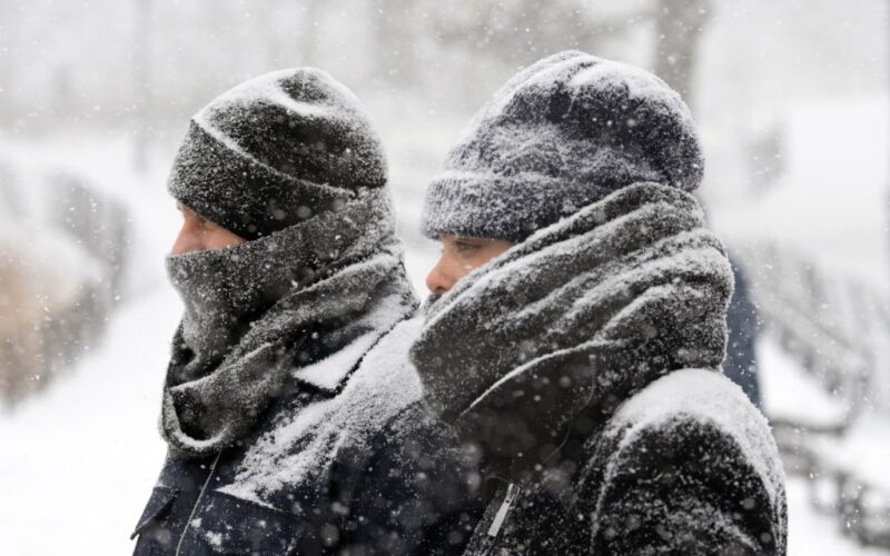
A “significant coastal winter storm” could hit the eastern U.S. this weekend, just days after Winter Storm Fern wreaked havoc across much of the country, according to the National Weather Service.
While it’s still too early to predict any details, the NWS’s Weather Prediction Center says there is a “chance of at least moderate winter storm impacts” from Friday night to Monday night across the Eastern Coast.
This comes as frigid temperatures continue to blanket much of the eastern half of the U.S. into next week.
Weather models mostly agree on the overall pattern across the continental U.S. over the next several days, the NWS said in a Tuesday afternoon update.
“The main area of uncertainty remains along the East Coast this weekend, where cyclogenesis is expected to occur,” forecasters said. Cyclogenesis is defined as the formation or intensification of a cyclone or low-pressure storm system.
The storm off the East Coast could intensify so quickly that it may be considered a “bomb cyclone,” a term for a storm that strengthens rapidly, according to The Weather Channel.
It could also become a powerful nor’easter, which forms when cold air, often originating in Canada, blows over the warm waters of the Atlantic Ocean off the eastern U.S.
As of Tuesday afternoon, the most likely scenario is a coastal storm, bringing snow and heavy winds to coastal areas before moving out to sea, sparing larger cities, CNN Weather reported.
Another scenario, less likely but not off the table, sees strong winds and heavy snow from the eastern Carolinas to the I-95 corridor, potentially bringing “blockbuster snow for all,” forecasters said.