

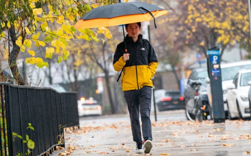
Spring 2025 in New York City is off to a wet, gray and chilly start.
Steady rain and foggy conditions, followed by colder temperatures and strong winds, are expected in the city beginning Thursday night, forecasters said.
The vernal equinox, which marks the start of the spring season in the Northern Hemisphere, occurred at 5:01 a.m. ET on Thursday, bringing “very spring-like conditions” to the area, according to the National Service Center in New York.
But after spending most of the day under low stratus clouds, patchy fog and coastal drizzle caused by onshore flow, New Yorkers will likely need an umbrella for the evening hours, as a cold front coming from the west is expected to dump up to three-quarters of an inch of rain.
The precipitation, which could be heavy at times, should begin around 8 p.m. and continue through 2 a.m., forecasters said. The temperature is expected to drop to around 41 degrees overnight, with southeast winds of 9-13 mph shifting to the northwest after midnight.
It should remain mostly cloudy through mid-morning on Friday before gradually clearing up. However, the wind is expected to pick up, with gusts as high as nearly 40 mph.
A dense fog advisory, issued for the Long Island Sound, New York Harbor, Peconic and Gardiners Bays, and South Shore Bays from Jones Inlet through Shinnecock Bay, will remain in effect until 2 a.m. Friday. A gale warning, issued when sustained winds of 34 to 47 knots (approximately 39 to 54 mph) are expected, is set to be in effect until 6 p.m. on Friday.
“Strong winds will cause hazardous seas which could capsize or damage vessels and reduce visibility,” forecasters said. “Mariners should alter plans to avoid these hazardous conditions. Remain in port, seek safe harbor, alter course, and/or secure the vessel for hazardous conditions.”