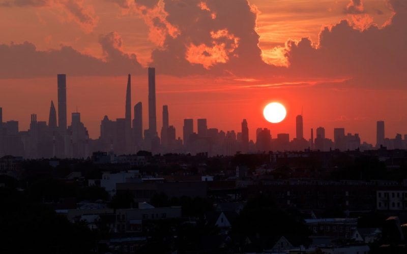
New York City’s unusually dry October will continue this week “and possibly into next week,” with near-record-breaking temperatures expected across the tri-state area elevating concerns about fire risk and drought in the area.
Blue skies and a late-summer feel will continue across the area as a high-pressure system persists over the Northeast, according to the National Weather Service in New York.
“It will remain borderline hot [Tuesday], with many areas reaching into the 80s,” NWS officials said. That’s about 20 degrees warmer than the average high of 62 degrees.
In Islip, on the South Shore of Long Island, a June-like temperature of 81 degrees just before 12 p.m. on Tuesday stunned meteorologists by setting a new record for the day. The previous record of 77 degrees was set in 1979.
But besides the city’s warmer-the-usual fall, rain amounts are also on a record-breaking path.
According to data compiled by Storm Team 4 NY, the Big Apple has only had 1.58 inches of rain since September — with no amount recorded in October — marking the city’s driest fall in 143 years,
This is the driest fall since the 1800s – and there’s still no rain in sight. pic.twitter.com/6h5GD58kpI
— Storm Team 4 NY (@StormTeam4NY) October 20, 2024
A cold front expected to reach the area by Wednesday night “looks mostly dry,” while a second cold frontal passage on Saturday has only a 20% chance of measurable rainfall.
Low humidity and the unseasonably dry and warm weather have increased the risk of fire across much of the Tri-State area.
Very dry October conditions will continue this week per our local forecast, and possibly into next week per the NWS Climate Prediction Center 8-14 Day Precipitation Outlook. pic.twitter.com/D3SPfFZfiL
— NWS New York NY (@NWSNewYorkNY) October 21, 2024
Fire danger is “very high” for all counties in New Jersey, with all fires in wooded areas “prohibited unless contained in an elevated stove using only propane, natural gas, gas, or electricity.”
The Connecticut Division of Forestry has also issued a “very high” fire danger level for the entire state.
Parts of New York State — across the Hudson Valley, New York City and Long Island — are under a “high” risk of fire danger, while the risk drops to “moderate” for the rest of the state, according to the state’s Department of Environmental Conservation.


