


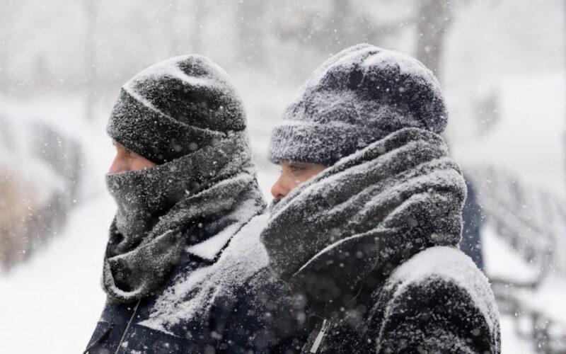
A mass of arctic air moving over the tri-state area is ushering in dangerously cold temperatures, “well below zero” wind chills, and — you guessed it — even more snow this weekend, the National Weather Service said.
“Extreme Cold” warnings are in effect for parts of New York, New Jersey and Connecticut from early Saturday until Sunday afternoon, the NWS’s New York Forecast Office said in a Friday morning brief.
For New York City, most of the Lower Hudson Valley and northeast New Jersey, the warning applies from 10 a.m. Saturday to 1 p.m. Sunday.
Additional cold weather advisories “may need to be added” for Sunday night into early Monday, the NWS said.
“Extreme Cold Warning for NYC: 10 AM on 2/7 to 1 PM on 2/8,” NYC Emergency Management said in an 11 a.m. Notify NYC alert. “Dangerously cold wind chills as low as 20 degrees below zero with hypothermia, frostbite, or death possible.”
Frostbite may occur within 15 to 30 minutes of exposure, weather officials said.
Bitter temperatures have been linked to at least 17 deaths of New Yorkers found outdoors during the city’s current frigid stretch. Preliminary findings show that 13 of those were related to hypothermia.
The most dangerous wind chills are expected Saturday night into Sunday morning as the Arctic cold front moves in, with wind chills dropping below zero as early as Saturday, forecasters said.
Northwest winds of 15 to 30 mph, with gusts up to 50 mph, are expected Saturday into Saturday evening. Those near the coast may experience wind chills between minus 15 and minus 20, while the bitter cold is expected to intensify inland overnight, with wind chills between minus 20 and minus 25.
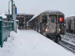
The cold front is also bringing more snow to the area, adding to piles of snow that have yet to melt from last week’s major storm — the city’s biggest in five years — though accumulations are expected to be far lower.
Light snow is expected to begin late Friday night and continue into Saturday morning, with snow possibly lingering into early Saturday afternoon across eastern Long Island and southeast Connecticut, the NWS said in a 10 a.m. update.
Up to an inch is forecast across the northwest NYC metro area, with 1 to 2 inches farther east. Some areas across Long Island and southeastern Connecticut could see up to 3 inches, forecasters said.
Earlier this week, Mayor Zohran Mamdani told reporters his administration would “continue to do everything in our power to get every New Yorker into a shelter where they will be warm.”
A Code Blue warning is currently in effect “until further notice” due to extreme cold conditions, which means additional emergency protocols and increased outreach workers on the streets.
“We’re going to use every single resource at our disposal to continue to build on this work, to open up more shelters, open up more beds and ensure that New Yorkers are staying warm,” Mamdani said.
The brutal cold could also bring infrastructural problems, as poorly insulated water lines along exterior walls may freeze and burst, the NWS said.