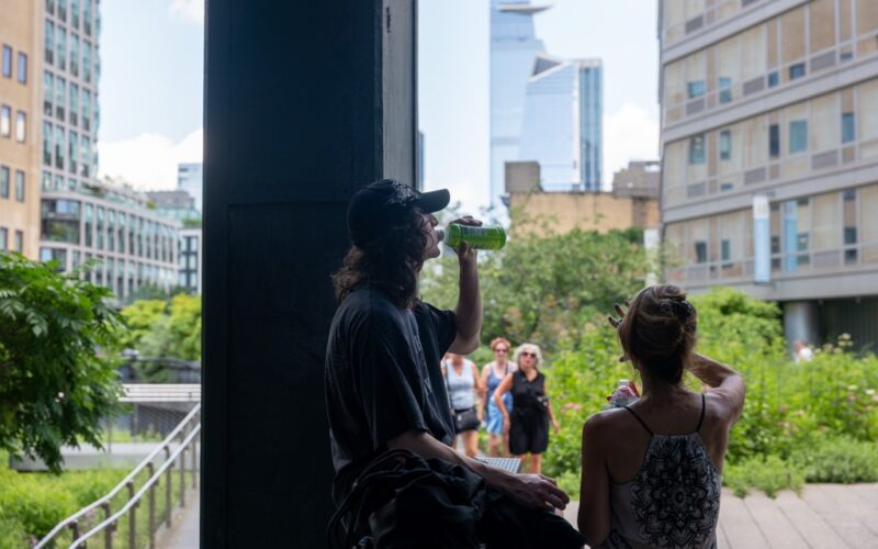
Fallout from Monday’s severe weather continued into Tuesday in the New York City and tristate area, as flash-flood runoff engorged rivers, closed some roads and plagued train tunnels.
For the coming week, though rain will also be a factor, meteorologists’ concerns are mostly a looming heat wave with humidity that would boost the heat index several degrees.
“We have both a chance for rain and a chance for heat,” National Weather Service meteorologist Bryan Ramsey told the Daily News on Tuesday. “I do think the heat will be more of a focus.”
Wednesday through Friday would see a “moderate to high potential” for heat indexes of 95 degrees to the low 100s, the weather service said in its website forecast discussion.
The heat index is what the temperatures feel like, and that will depend on humidity, Ramsey said. Wednesday’s actual temperatures will range from the upper 80s to the low 90s, but the heat index will be 95 to 100, he said. Thursday’s actual temperature isn’t expected to be much different — 90, 91 or 92 — “but it will be even more humid, so we’re looking at heat index values of 100 to 105,” Ramsey said.
“Once we get into tomorrow [Wednesday], we are going to have more of a chance for rain as we get into the midafternoon and evening,” Ramsey said. “We’ll carry that chance through the night.”
While scattered thunderstorms were forecast for Thursday, the extensive flooding that swept away two women in New Jersey, inundated New York City subway stations and flooded several highways was not expected to recur.

Three New Jersey counties remained under a flood warning into early Tuesday morning, and Amtrak warned of delays on the Northeast Corridor line “due to heavy rain and weather-related impacts overnight.”
The Bronx River rose above flood level Tuesday morning as storm runoff flowed into the waterway overnight Monday, closing down parts of the Bronx River Parkway. By afternoon, levels were back to normal, and the roadway was open, Ramsey said. Subway service, too, was back to normal Tuesday morning.
The heavy rainfall — 1 to 2 inches an hour, with a storm total topping 6 inches in parts of New Jersey — was due to storms that “were kind of stalling out, moving at a snail’s pace,” Ramsey explained, dumping all their rain in one place. The rest of the week would not deliver anything like that deluge, he added. Wednesday night would see some scattered showers, with more numerous spates Thursday.

“Because of that we do have a marginal risk for flooding, but it’s mainly expected to be isolated, so what we do see is not as widespread or significant as what we just saw,” Ramsey said. “But we could have an isolated downpour.”
The National Weather Service predicted an “isolated severe threat and localized flash-flood threat” for late Wednesday afternoon and evening for New York City and westward “in a moderately unstable and moist air mass.”
Friday things will most likely both dry out and cool off, Ramsey said.
With News Wire Services
Originally Published:


