


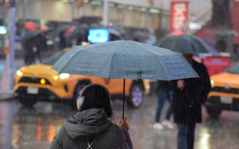
The first nor’easter of the season is expected to hit New York City and the tri-state area on Sunday and Monday, bringing consistent heavy rain, gale-force winds and dangerous seas.
Relatively pleasant weather is expected from Thursday through Saturday, but conditions are expected to worsen throughout the day Sunday and continue into Monday.
“The combination of persistent, strong onshore winds, high surf and high astronomical tides may lead to some East Coast communities experiencing significant coastal flooding impacts,” the National Weather Service warned.
The coastal low pressure system behind this nor’easter is expected to develop Saturday near the Carolinas, forecasters said.
Though the storm is days away, “computer models are in unusually strong agreement supporting the development of the system,” according to Fox Weather.
Because it is still developing, the exact conditions of this nor’easter remain unclear. However, the tri-state area can expect hefty wind gusts up to 50 mph and a steady dose of rain from Sunday into Monday.
“There is still a large amount of uncertainty with impacts which are dependent on the exact track and intensity of a deepening low pressure,” National Weather Service meteorologists wrote Thursday. “How far north the low tracks along with its strength later Sunday and Monday will be the main determining factors for potential wind and coastal flood impacts.”
Though people usually think of nor’easters bringing heavy snow, they are defined by their northeast winds and can develop at any time. This storm may pack a particularly heavy punch along the coast, where tides are already high because Earth is relatively closer to the Moon, hence the recent “supermoon.”
“High surf is expected on many East Coast beaches,” the weather service warned, “which will generate strong rip currents and potentially lead to some beach erosion.”
Originally Published: