


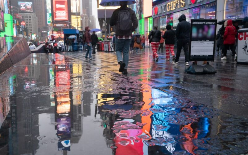
Thunderstorms and potentially hail were in the forecast for New York on Monday as a rainy system moved over the tri-state area.
Only about 1-2 inches of rain were projected across the five boroughs, but the National Weather Service warned of potential severe weather throughout the region.
“A cold front will bring showers and thunderstorms to the area late this afternoon into tonight,” the NWS New York office said on social media. “Some of the storms may produce locally damaging winds, hail and localized flooding.”
While scattered showers were anticipated across the tri-state area in the afternoon, meteorologists predicted a 100% chance of rain in the evening as the storm system was expected to arrive.
Despite the low accumulation numbers, experts predicted short periods of heavy rain, with winds reaching up to 15 mph. The heaviest rain was expected between 4 p.m. Monday and 2 a.m. Tuesday, with the weather letting up before Tuesday’s morning commute.
Temperatures were expected to reach 70 degrees in Central Park on Monday afternoon before plummeting overnight with the storm’s arrival. The projected overnight low was 45 degrees, with Tuesday’s predicted high at only 58 degrees.
The rapid temperature change will be nothing new to New Yorkers, who enjoyed balmy weather early Saturday before shifting air masses dropped temperatures nearly 30 degrees in a matter of hours.