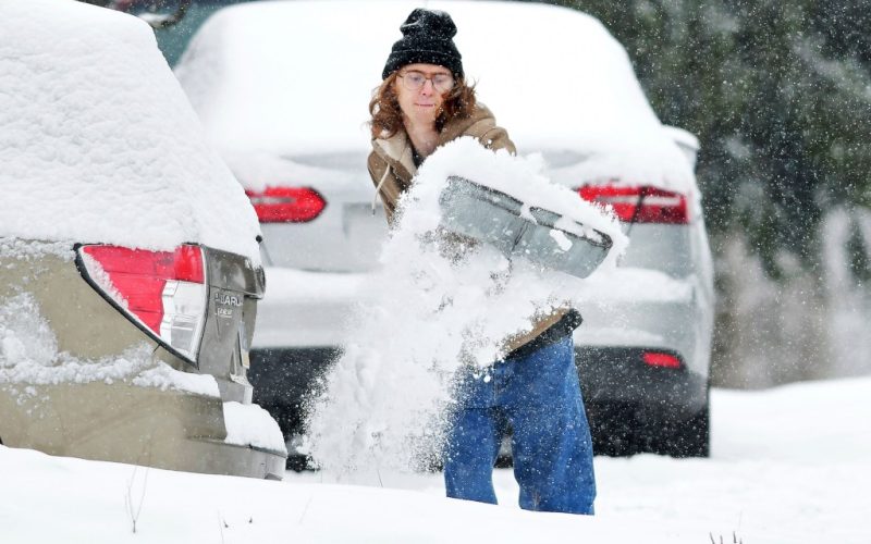
A winter storm sweeping across the country could bring snow and ice to New York City at the start of the week.
Winter Storm Blair is expected to make its way east from the Rockies through the weekend, reaching the mid-Atlantic by Sunday night and bringing with it icy conditions that could impact the Monday commute.
In New York City, the weekend is likely to see some sun with a high of a few degrees over freezing, before dropping to the mid-to-high 20s overnight Sunday into Monday morning.
Monday is expected to be cloudy with some flurries in the city falling mostly from late morning to mid-afternoon, according to AccuWeather. While roughly an inch of accumulation is likely, the weather service warns that a shift in the storm’s track could produce heavier snowfall.
“Travel impacts possible for the Monday AM and Monday afternoon commute,” the National Weather Service said in a Friday evening update for southeast New York and northeast New Jersey. “There is still uncertainty in the exact track of low pressure, and small deviations in track would increase or decrease snowfall amounts by a few inches.”
Further south, cities including Baltimore and Washington, D.C. could see up to 6 inches of snow, according to The Weather Channel.
The network calls Blair the most widespread winter storm of the season so far. It dumped cold rain and mountain snow on the Pacific Northwest and Rockies on Friday, before its low pressure was expected to carry the storm from coast to coast.
Residents of the Central Plains and much of the Midwest were warned of “increasingly hazardous travel conditions,” with more than a foot of new snow possible in some places. Portions of eastern Kansas, Missouri, lower Illinois and much of Kentucky could see damaged trees and impacted power lines throughout the weekend.
Across the county, the wintry weather should taper off by Monday night, though leftover snow and ice could still effect commutes on Tuesday morning.
In New York City, the rest of the week is expected to bring sunny skies but chilly temps hovering at or just above freezing.


