


A fast-moving winter storm is expected to blast New York and the tristate area on Thursday morning, bringing snow, sleet and eventually rain to the region.
Precipitation will begin overnight Wednesday into early Thursday morning, the National Weather Service said. But because the system will blow through the area so quickly, the skies should clear up by Thursday evening.
“This is a fast-moving system and much of the [precipitation] looks to fall in about a 6- to 9-hour period from early Thursday morning into early Thursday afternoon,” forecasters said.
The heaviest precipitation will fall right around morning commute time, according to meteorologists. The storm will initially bring snow to the region, but as temperatures warm up throughout the day, it will change into sleet and eventually rain.
“The coast will go over to plain rain the quickest as temperatures rise above freezing,” the NWS said. Meanwhile, interior areas of North Jersey and the lower Hudson Valley will take the longest to warm up.
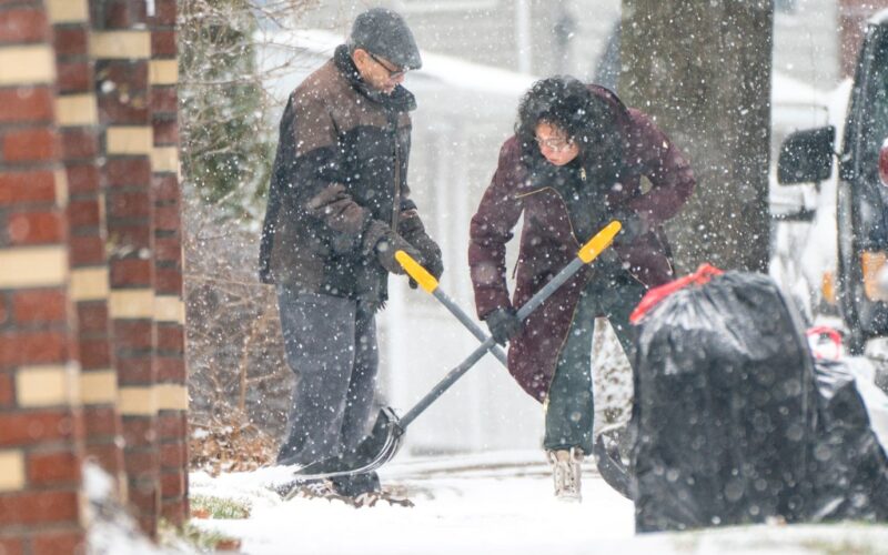
In New York City, up to 2 inches of snow could fall across the five boroughs before sleet and rain begin coming down. Even if multiple inches of snow fall in the city, the white stuff is expected to melt rather quickly because of the afternoon temperature increase. High temperatures on Thursday are still predicted in the low 40s.
Though Thursday’s storm is expected to clear the area quickly, that will not mean the end of nasty weather for the region. While Friday is forecast to be relatively calm, another bout of snow, sleet and rain is predicted for Saturday afternoon into Sunday morning.
“Snow [Saturday] evening should start to mix with sleet and then freezing rain late outside of the NYC metro area especially to the north/west,” NWS forecasters said, “and change to all rain for the NYC metro area and Long Island at first, then inland after daybreak Sunday.”
Small amounts of ice are possible on both Thursday afternoon and Sunday morning, but forecasters said chances of ice in the five boroughs are relatively low. The areas at biggest risk of ice accumulation are North Jersey and the lower Hudson Valley.